Coastal Bliss Adventures
In our hearts, we all live on the land. That is the real world. We take away the obstacles to experience what is real, to experience your bliss. We show you the way. That's Coastal Bliss Adventures.
Hiking Trail Rating Systems
Hiking Trail Rating Systems
Trail Rating Systems
There is no consistent hiking trail rating system used around the world or in North America. Trail rating systems tend to be localized or specialized to more technical outdoor activities, like climbing or mountain biking. We have developed a rating system that encompasses our entire group of trails, with as much detail as possible to give you a better understanding of the requirements of each hiking tour we lead. We summarize those details with a very generalized rating using the following descriptors:
•Light Moderate—somewhat strenuous, but mostly simple hiking
•Moderate—sections may be strenuous for short periods, with some more complicated sections
•Moderately Strenuous—elevation changes on some sections and/or some more technical footing sections
•Strenuous—significant elevation changes and/or technical sections and/or heavier pack weights
•Very Strenuous—consistent elevation changes, heavier pack weights and/or technical sections
It is always best to review the detailed rating and the descriptors of each component.
Our Trail Rating System
Technical difficulty of the trail
Technical difficulty on hiking trails has to do with the obstacles and footing on a trail, up to off-trail routes. Trails that have more than just an occasional need for support with hands (scrambling) are more in the range of climbing trails and would be best classified using a climbing classification system. Even though there may be little to no scrambling on a hiking trail, the "technical" difficulty can vary greatly.
We classify technical difficulty in our hiking trails with a double capital letter with the following classifications making up each letter. The first letter gives the predominant trail technicality, the second gives the highest technical difficulty encountered.
Rating |
Details |
A |
The trail is groomed with few obstacles or unevenness. |
B |
The trail is well-worn, but ungroomed. It may have some obstacles or unevenness. |
C |
The trail is identifiable but may require some route-finding. Unevenness is common and there are occasional obstacles, such as roots or rocks along the trail. |
D |
The trail is identifiable but may require some route-finding. Unevenness is common and there are regular obstacles, such as roots or rocks along the trail. |
E |
The trail is identifiable but may require some route-finding. The trail is very uneven and has many obstacles to negotiate. |
F |
Off-trail, route-finding is required. Off-trail terrain is simple and mostly open with few obstacles. |
G |
Off-trail, route-finding is required. Off-trail terrain is complicated and has significant obstacles. |
Example: BD means that the majority of the trail is in the B classification, but there are some trail areas up to the D classification.
Degree of strenuousness of the trail
Strenuousness of the trail includes weights of backpacks needed for a trip, elevation gain/loss on a trip and other factors such as rope pulls and ladders. This classification is by number.
We classify strenuousness in our hiking trails with a double number with the following classifications making up each number. The first number gives the predominant strenuousness throughout the hike, the second gives the highest level of strenuousness encountered in a day.
Rating |
Details |
1 |
Day hiking with minimal weight, there may be elevation gain/loss or other obstacles |
2 |
Moderate backpack weight with little elevation gain/loss and no other factors. |
3 |
Moderate backpack weight with little elevation gain/loss, but significant other factors, such as rope pulls or ladders throughout. |
4 |
Moderate backpack weight with significant elevation gain/loss and limited other factors. |
5 |
Heavy backpack weight with little elevation gain/loss and limited other factors. |
6 |
Heavy backpack weight with little elevation gain/loss and significant other factors, such as rope pulls or ladders throughout. |
7 |
Heavy backpack weight with significant elevation gain/loss, but with few other factors. |
8 |
Moderate backpack weight with significant elevation gain/loss and/or significant other factors, such as rope pulls or ladders throughout. |
9 |
Heavy backpack weight with significant elevation gain/loss and/or significant other factors, such as rope pulls or ladders throughout. |
Example: 48 means that the overall trail requires moderate backpack weight, little elevation gain, and has few instances of other factors-the "4", but at least one day has significant elevation gain/loss and significant other factors-the "8".
Other factors
Other factors include significant differences in the trail due to weather, tides or other factors. This rating component uses a small letter to distinguish differences. More than one letter may be present.
Rating |
Details |
a |
Rain effects: weather factors can change the terrain significantly. Rain may make conditions slippery or muddy, rainfall amounts may swell streams that then require fording. |
b |
Snowfall effects: Snow may obscure the trail or make footing more slippery. The cold may also affect the body and travel ease. |
c |
Lightning effects: some terrain is more prone to lightning, which may leave hikers more exposed to lightning storms. |
d |
Fog effects: fog may cause wetness in the terrain that can cause slippery footing; it may also adversely affect visibility and the ability to route find. |
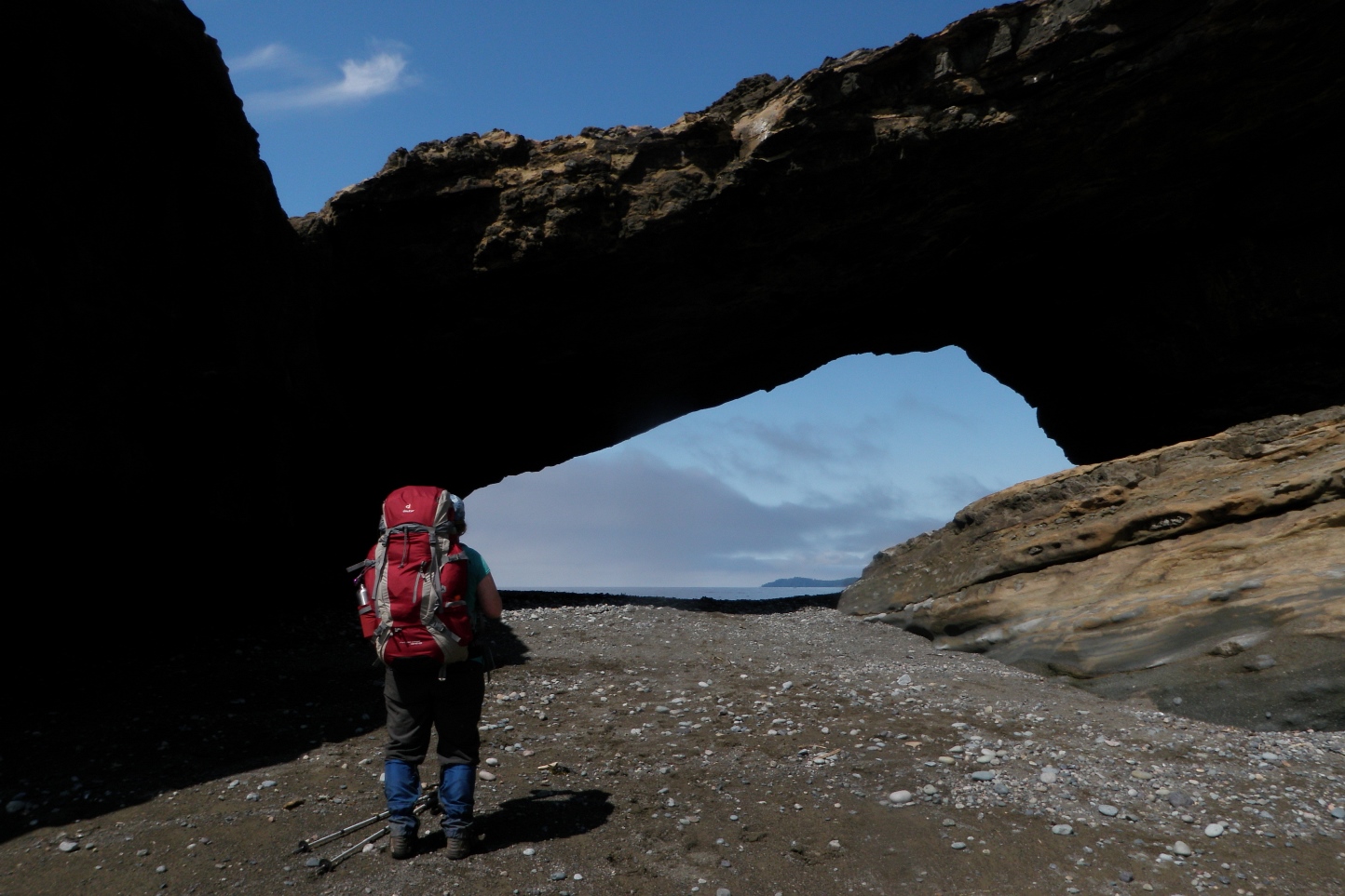
e |
Tides and ocean swell effects: tides may restrict routes and make travel more difficult; and ocean swells may create hazards when near shore. |
f |
Wind effects: wind may make travel more difficult and/or affect the ability to stay warm |
g |
Sun effects: sun exposure may be significant for portions of this trail; there may be significant time above the tree line or along a shore with no shade, with possible temperatures over 30° C. |
Examples of our rating system
The Juan de Fuca Trail near Victoria, BC is a 48 km backpacking trail along the south coast of Vancouver Island. It is along the shore in temperate rainforest areas. The trail has two distinct sections, the eastern section and the western section. The eastern section has more ups and downs due to drainage gullies, while the western section has more obstacles on the trails. Travel is typically slower on the eastern section. For the full trail, we have a 6-day hike, so the backpack weight would be moderate, as opposed to a 9-day hike, which would be a heavy weight due to the additional food. There are some sets of stairs, but most elevation changes are on trail. The eastern section has slightly better trail conditions, but still a significant amount of obstacles. There are some tide dependencies along the route, the trail is more slippery in the rain, and there can be fog, particularly on the western end.
Trail rating: CE34ade, considered Moderately Strenuous with obstacles and other factors.
The South Chilcotin Mountains are located north or Whistler, BC, west of Lillooet, BC. This is a fairly remote park. The 7-day hike we do there has several itineraries, depending on the conditions and availability of services (like float plane service or shuttle service). No matter whether it is a fly-in/hike out trip or a hike in/hike out trip, the terrain is similar. There is significant elevation gain/loss, no matter which itinerary. The trail conditions are mostly very good, although some sections may be narrow and V-shaped from mountain bike use. The 7-day itinerary suggests a moderate backpack weight due to food for that time, but being in grizzly bear country requires extra precautions, so we take bear proof containers, which add several pounds, putting backpacks into the heavy range. There are snowfall/cold, rain, lightning, wind, and sun factors to account for.
Trail rating: CE7bcdfg, considered a Strenuous hike with significant other factors.
The Yosemite Decimal System
The Yosemite Decimal System is primarily a rock climbing rating system. It is divided into five classes, with Class 5 being further sub-divided. Class 5 is technical climbing, which we do not do. Our tours are Class 1. One could argue that we have some Class 2 because going over a root system on the West Coast Trail may be safer to use hands than not, and technically, going up a ladder to a compostable outhouse is a scramble! With these oddities aside, we only do Class 1 terrain.
Class 1 – hiking on a trail
Class 2 – simple scrambling, with the possibility of occasional use of hands. Little potential danger is encountered
Class 3 – scrambling with increased exposure. Handholds are necessary. A rope could be carried. Falls could easily be fatal
Class 4 – simple climbing, possibly with exposure. A rope is often used. Falls may well be fatal
Our hikes are in Class 1, but this does not really differentiate how strenuous a hike is. There are trails with little to no elevation gain that are Class 1, and there are trails with 1,000+ metre elevation gains that are also Class 1. The trail itself may be smooth and clear, but these are very different hikes. So the Yosemite Decimal System is not adequate for our hiking trip.
Parks Canada Trail Guide
The Parks Canada Trail Rating Guide gives a more detailed look at day hikes and throws all multiday hikes into the most difficult, double black diamond rating. This system also has limited value.
Symbol |
Rating |
Details |
|
Easy |
|
|
Moderate |
|
|
Difficult |
|
|
Route |
|
Some of the details are getting closer to trails we go on, but it is still a very limited system. All of our hikes would be Route